Route · Monterey Bay, California, USA
Monterey Bay Beach Walk
The Monterey Bay shore end to end, Natural Bridges to Asilomar, on sand wherever the tide and the rivers allow.

47.9 mi77.1 km9 stops9 crossings
The route
- On the sand
- Path or street
- Road detour
- Wade or ford: check the tide
- Where legs join (zoomed maps)
- Natural Bridges State Beach mile 0.0 · 36.951° N, 122.058° W
- Santa Cruz Wharf mile 2.8 · 36.963° N, 122.022° W
- San Lorenzo River mouth mile 3.3 · 36.965° N, 122.014° W
- Santa Cruz small craft harbor mile 4.0 · 36.968° N, 122.004° W
- Black Point mile 5.6 · 36.964° N, 121.985° W
- Capitola mile 8.4 · 36.972° N, 121.952° W
- Capitola cliffs mile 9.0 · 36.975° N, 121.944° W
- New Brighton State Beach mile 9.5 · 36.978° N, 121.937° W
- Aptos Creek, Rio del Mar mile 11.3 · 36.968° N, 121.907° W
- Manresa State Beach mile 14.9 · 36.932° N, 121.863° W
- Sunset State Beach mile 17.9 · 36.894° N, 121.838° W
- Pajaro River mouth mile 21.3 · 36.849° N, 121.809° W
- Moss Landing harbor entrance mile 24.6 · 36.809° N, 121.790° W
- Salinas River mouth mile 29.7 · 36.751° N, 121.805° W
- Marina State Beach mile 33.5 · 36.697° N, 121.810° W
- Stilwell Hall riprap mile 35.9 · 36.665° N, 121.822° W
- Del Monte Beach mile 42.0 · 36.602° N, 121.890° W
- Asilomar State Beach mile 47.9 · 36.619° N, 121.941° W
Map data © OpenStreetMap contributors (ODbL)
- Natural Bridges State BeachMile 0.0 · Ahead
The start
- Santa Cruz WharfMile 2.8 · Ahead
West Cliff path
- San Lorenzo River mouthCrossingMile 3.3 · Ahead
The walkway beside the old railroad trestle
- Santa Cruz small craft harborCrossingMile 4.0 · Ahead
Round the harbor on the Murray Street bridge
- Black PointCrossingMile 5.6 · Ahead
Impassable on the beach; up to the streets
- CapitolaMile 8.4 · Ahead
Twin Lakes, Pleasure Point and Opal Cliff streets
- Capitola cliffsCrossingMile 9.0 · Ahead
Low or falling tide only
- New Brighton State BeachMile 9.5 · Ahead
- Aptos Creek, Rio del MarCrossingMile 11.3 · Ahead
A lagoon in summer, open in the rainy season
- Manresa State BeachMile 14.9 · Ahead
Under the cliffs past Rio del Mar and La Selva
- Sunset State BeachMile 17.9 · Ahead
- Pajaro River mouthCrossingMile 21.3 · Ahead
Only when a sandbar closes it
- Moss Landing harbor entranceCrossingMile 24.6 · Ahead
Never on foot; the road detour over Elkhorn Slough
- Salinas River mouthCrossingMile 29.7 · Ahead
Only when a sandbar closes it
- Marina State BeachMile 33.5 · Ahead
- Stilwell Hall riprapCrossingMile 35.9 · Ahead
Very low tide only
- Del Monte BeachMile 42.0 · Ahead
Where the sand ends at Wharf 2
- Asilomar State BeachMile 47.9 · Ahead
The finish, past Point Pinos
Overview
The whole curve of Monterey Bay on foot, from the sandstone arch at Natural Bridges in Santa Cruz round to the boardwalk at Asilomar in Pacific Grove: about 48 miles, roughly 31 of them on sand. North of New Brighton the shore is cliff and bluff with pocket beaches, so the walk there is mostly path and street. From New Brighton to Del Monte Beach it is nearly continuous sand, and Moss Landing is the only stretch of forced pavement.12
Two kinds of obstacle decide the days. The tide decides the Capitola cliffs and the riprap at Stilwell Hall. The rivers decide the Pajaro and the Salinas: each can be crossed on foot only when a sandbar closes its mouth.34 The harbor entrance at Moss Landing is never walked; the way round is a road detour over the Elkhorn Slough bridge.5
Research
The line on the map is a plan, not yet walked. Street and path legs were routed over OpenStreetMap with a hiking profile, between the nodes where a path reaches the sand; sand legs follow the OpenStreetMap coastline about 10 meters inland; creek and river mouths are crossed straight over and marked as wades. The site checks the line against the same map data on every build: every street point sits on a mapped way, nothing runs through water except the marked wades, and each leg starts where the last one ended. Distances are measured on that line, so they differ a little from the California Coastal Trail's section figures they were planned from.6
Each leg below gives its surface, when it can be walked, and what it feels like on paper. Facts come from the Coastal Trail section guides, California State Parks, the two counties and trip reports.78 Anything marked (verify) comes from thin or old sources: check it in person and with the land manager before trusting it with a pack on.
The tide matters most at the Capitola cliffs and Stilwell Hall. A morning low tide below about 1 foot at the Monterey station is a starting guess for both (verify), not a sourced threshold.910 On the long soft-sand days, start near high tide and walk the falling tide for firmer sand; south of Moss Landing the beach steepens and firm sand gets scarce.1
Snowy plovers nest on these beaches from March 1 to September 30. Fenced or posted areas are closed at Fort Ord Dunes, Marina, Monterey, Moss Landing, Salinas River and Zmudowski state beaches, and plovers also nest at Sunset and Manresa.1112 Whether walking the wet sand below a posted area is allowed at each beach is still an open question (verify).
The walk, north to south
West Cliff
2.8 mi · 4.5 km · from mile 0.0
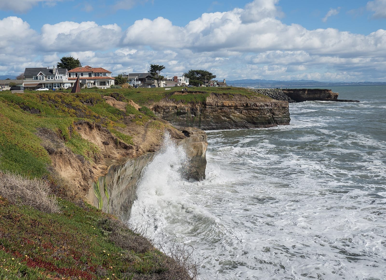
West Cliff Drive above the surf, Santa Cruz.
- From, to: Natural Bridges State Beach to the Santa Cruz Wharf
- Surface: paved bluff path above rocky cliffs and pocket beaches13
- Walkable: any tide, on the path
Surfers below, the lighthouse halfway, the easiest warm-up of the walk. Storm repairs moved part of the path, and a stretch near Lighthouse Field is planned to shift inland.14
Photo: Rhododendrites, CC BY-SA 4.0, via Wikimedia Commons.

Main Beach to Seabright
2.0 mi · 3.2 km · from mile 2.8
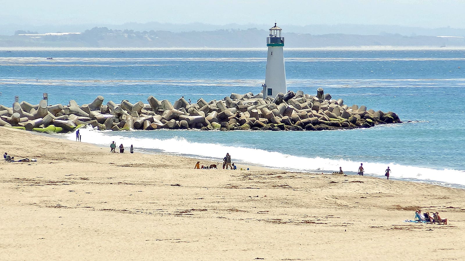
The Walton Lighthouse on the harbor jetty, from Seabright Beach.
- From, to: the wharf, the San Lorenzo mouth, Seabright, the harbor
- Surface: sand or East Cliff Drive, then round the harbor to its bridge2
- Walkable: most tides; the jetty only in calm surf2
The Boardwalk crowd, the river crossed on the trestle walkway, then round the harbor. The line keeps to East Cliff Drive above Seabright Beach; the sand below goes as well at any but the highest tide. Main and Cowell beaches have a midnight curfew.15
Photo: Dennis G. Jarvis, CC BY-SA 2.0, via Wikimedia Commons.

Twin Lakes to Capitola
3.7 mi · 5.9 km · from mile 4.8
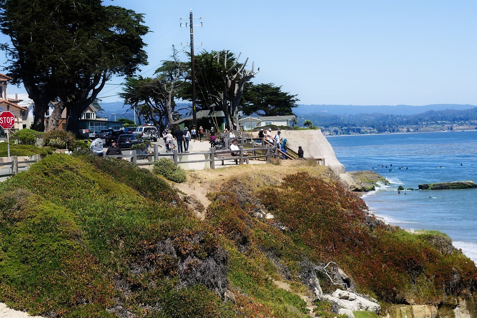
Pleasure Point, above the surf breaks.
- From, to: the harbor's east side, Twin Lakes, Black Point, Pleasure Point, Opal Cliff, Capitola
- Surface: sand to Black Point, then bluff-top streets2
- Walkable: Black Point is impassable on the beach at any tide
A street walk along East Cliff and Opal Cliff, surf breaks below and private homes blocking the view.2
Photo: Grmc922, CC BY-SA 4.0, via Wikimedia Commons.

Capitola cliffs
1.0 mi · 1.7 km · from mile 8.4
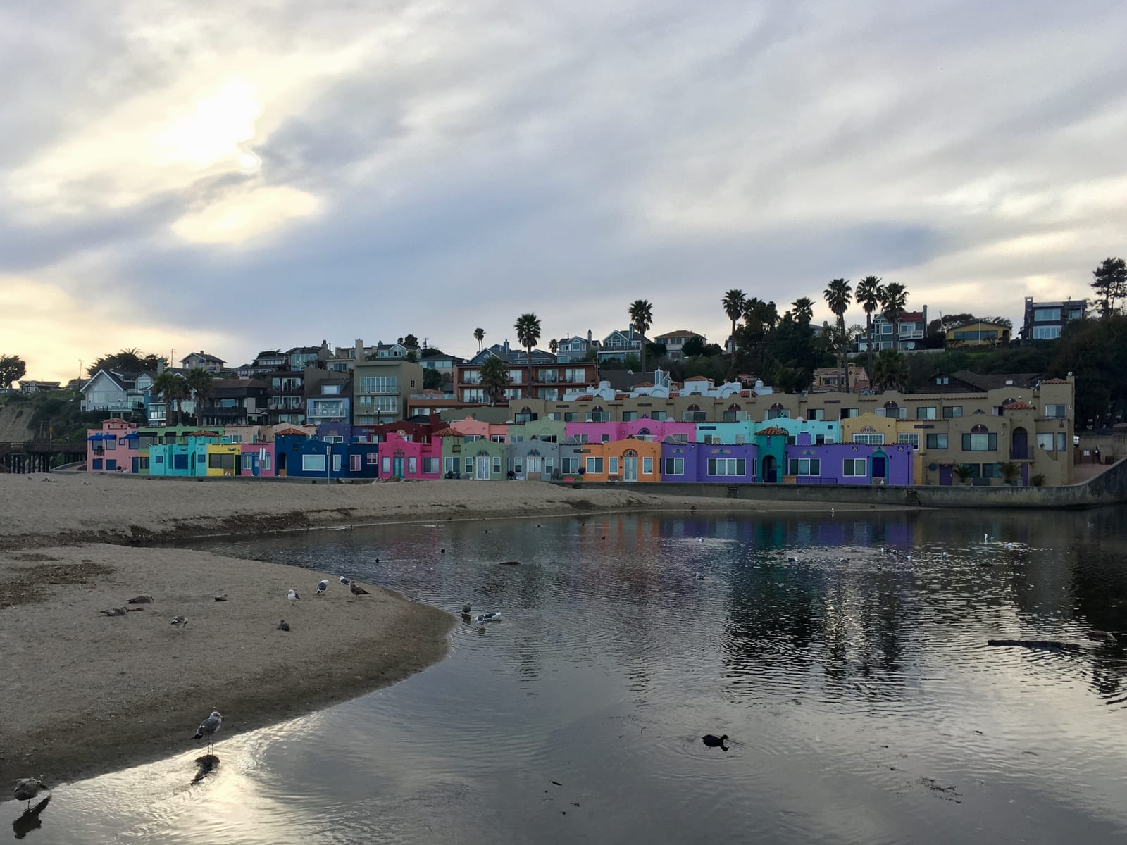
The Venetian houses on Capitola beach.
- From, to: Capitola City Beach to New Brighton
- Surface: a rocky tidal zone under fossil cliffs16
- Walkable: low or falling tide only16
Fossil shells in the cliff face, and the first place the tide decides. Soquel Creek is crossed on the bridge over its estuary.2
Photo: Srishti Sethi, CC BY-SA 4.0, via Wikimedia Commons.

New Brighton to Seacliff
1.3 mi · 2.1 km · from mile 9.5
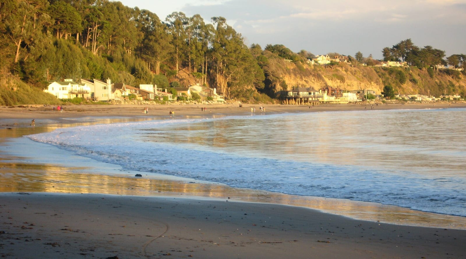
New Brighton State Beach under its bluff.
- From, to: New Brighton State Beach to Seacliff
- Surface: sand16
- Walkable: most tides (verify)
A short sand stretch. The old cement ship's pier at Seacliff has been gone since the January 2023 storms.17
Photo: Pamela Carls, CC BY 2.0, via Wikimedia Commons.

Seacliff to Manresa
4.0 mi · 6.4 km · from mile 10.8
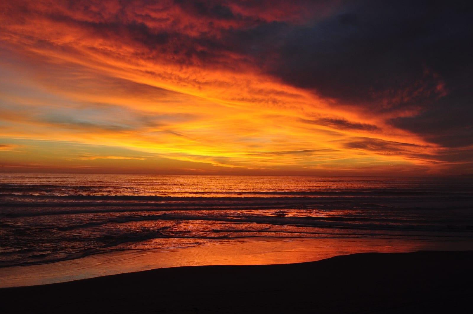
Manresa State Beach at sundown.
- From, to: Seacliff, Rio del Mar, La Selva, the Manresa stairs
- Surface: sand under 100-foot cliffs past the houses16
- Walkable: most tides (verify); Aptos Creek's mouth in winter (verify)
Houses on stilts above, a long beach below: the first real distance on sand.
Photo: Dg251273, CC BY-SA 4.0, via Wikimedia Commons.

Manresa to Sunset
3.1 mi · 5.0 km · from mile 14.8
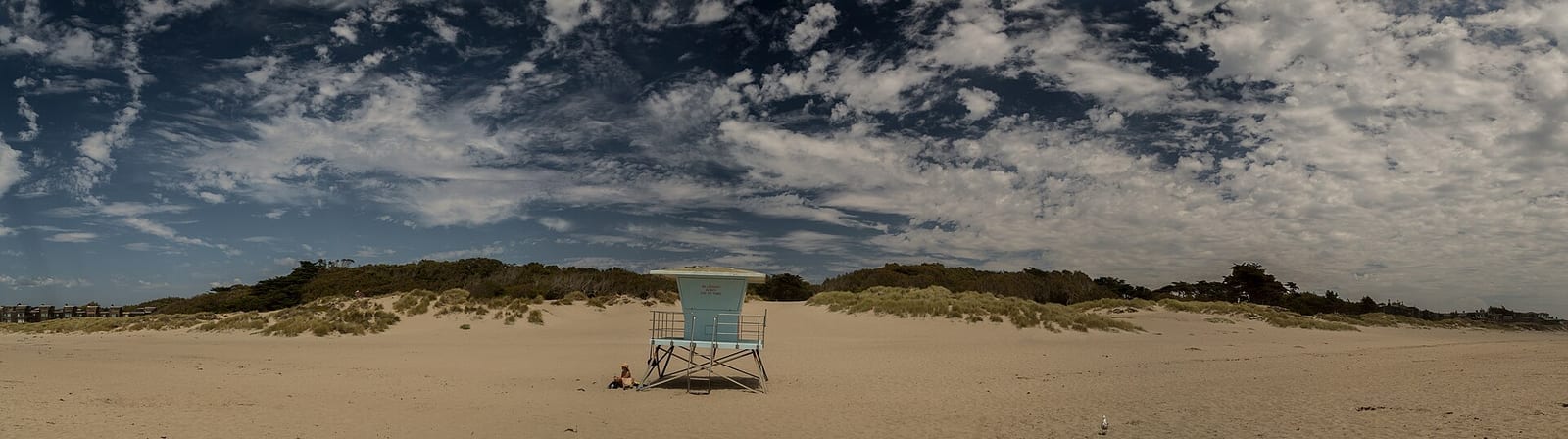
A lifeguard tower at Sunset State Beach.
- From, to: Manresa State Beach to Sunset State Beach
- Surface: wide sand under low bluffs3
- Walkable: most tides (verify)
Wide and quiet. Plovers nest here, so keep to the wet sand.12
Photo: Davide D'Amico, CC BY-SA 2.0, via Wikimedia Commons.

Sunset to the Pajaro
3.4 mi · 5.4 km · from mile 17.9
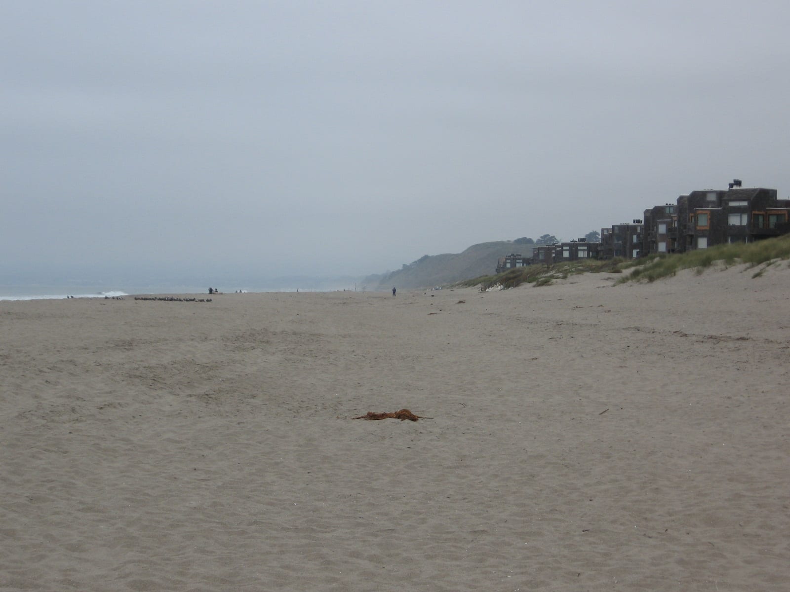
Palm Beach, with the houses of Pajaro Dunes behind the sand.
- From, to: Sunset, Palm Beach, Pajaro Dunes, the river mouth
- Surface: sand below the county's biggest dunes3
- Walkable: the river decides, not the tide
The dunes get big. Pajaro Dunes behind the sand is private property.3
Photo: Phorenon, CC BY-SA 3.0, via Wikimedia Commons.

Zmudowski to Moss Landing
4.8 mi · 7.7 km · from mile 21.2
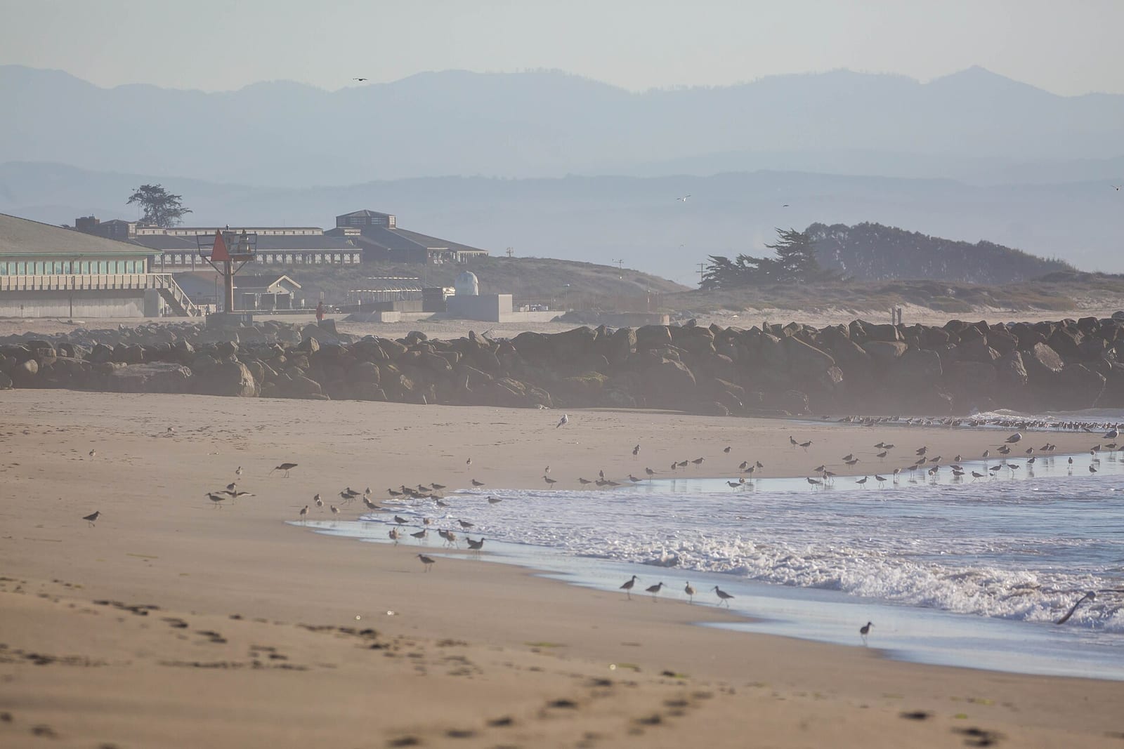
Moss Landing State Beach, the harbor jetty and the power plant beyond.
- From, to: the Pajaro mouth, Zmudowski, the north jetty, then the road detour
- Surface: sand, then Jetty Road, the Hwy 1 shoulder and Moss Landing streets5
- Walkable: any tide on the sand; the harbor entrance is never walked
The only forced pavement of the walk: the power plant stacks ahead, then traffic on the Elkhorn Slough bridge. Zmudowski has a natural preserve at the estuary.20
Photo: Melissa McMasters, CC BY 2.0, via Wikimedia Commons.

Moss Landing to the Salinas
3.9 mi · 6.2 km · from mile 26.0
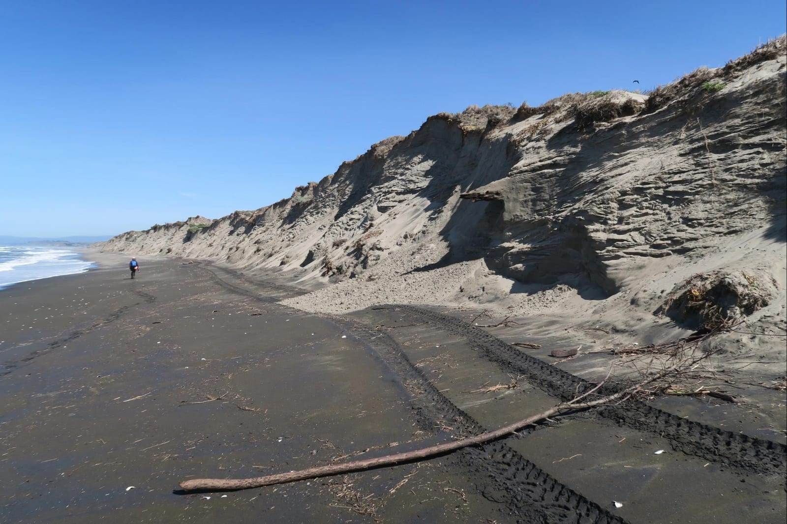
Sand and eroded dune cliffs on the beach at Moss Landing.
- From, to: the end of Sandholdt Road to the Salinas River mouth
- Surface: sand beside the Old Salinas River channel4
- Walkable: the river decides
Back on the sand, steeper now, through plover habitat.11
Photo: Daniel Hoover, U.S. Geological Survey, public domain, via Wikimedia Commons.

Salinas River refuge
3.6 mi · 5.8 km · from mile 29.9
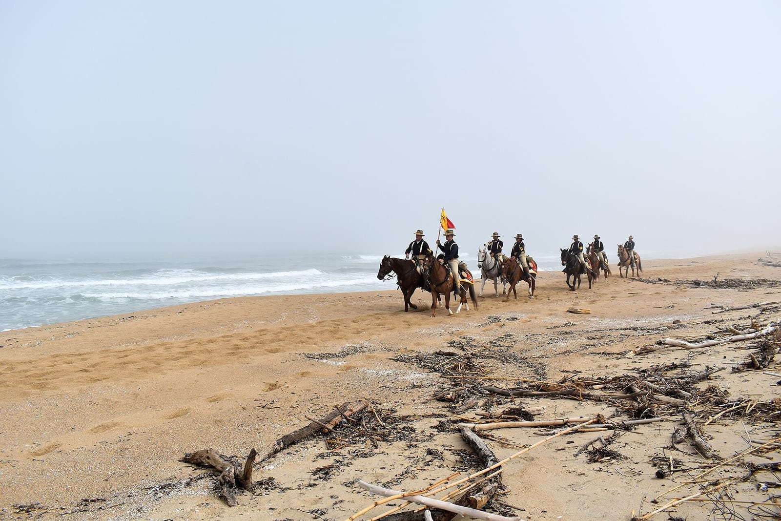
Riders on Salinas River State Beach.
- From, to: the Salinas mouth to the Marina State Beach boardwalk
- Surface: soft sand below steep dunes4
- Walkable: any tide; watch for big waves4
A national wildlife refuge: stay off the dunes. Soft going with a pack.
Photo: Presidio of Monterey (DLIFLC and USAG), public domain, via Wikimedia Commons.

Marina to Stilwell Hall
2.4 mi · 3.8 km · from mile 33.5
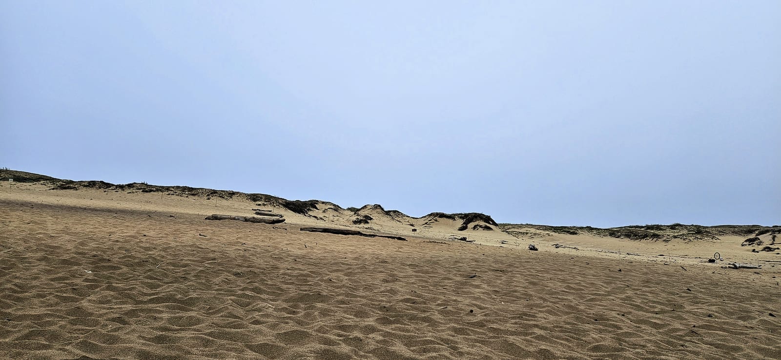
The dunes at Marina State Beach.
- From, to: Marina State Beach into Fort Ord Dunes State Park
- Surface: soft sand, then a riprap wall24
- Walkable: very low tide only at the riprap24
Hang gliders over Marina, then the old Army beach. Fort Ord Dunes is open 8 a.m. to sunset, and some of its trails are closed.25
Photo: Eric Polk, CC BY-SA 4.0, via Wikimedia Commons.

Fort Ord to Sand City
3.8 mi · 6.1 km · from mile 35.9
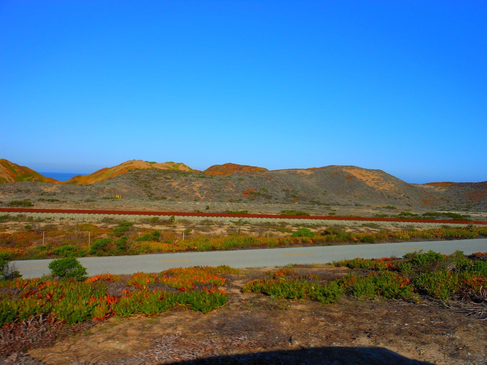
The dunes of Fort Ord Dunes State Park.
- From, to: Stilwell Hall to Sand City
- Surface: sand; dunes scarred by old sand mining24
- Walkable: most tides (verify)
Long, empty and steep: the hardest sand of the walk.1
Photo: Ken Lund, CC BY-SA 2.0, via Wikimedia Commons.

Sand City to Seaside
1.1 mi · 1.8 km · from mile 39.6
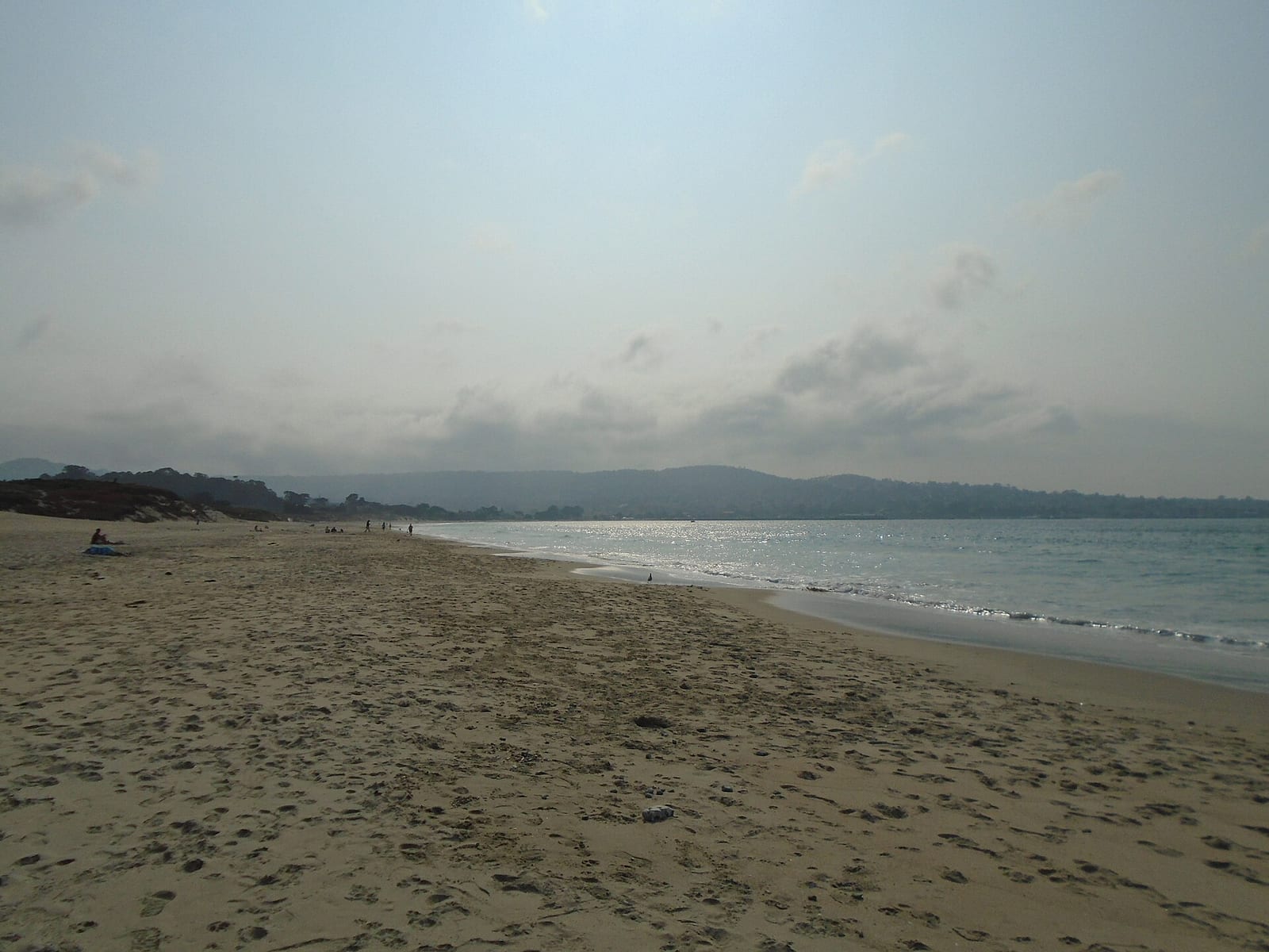
Monterey State Beach, looking round the bay.
- From, to: Sand City to the Monterey Beach Hotel
- Surface: sand with restored dunes24
- Walkable: most tides (verify)
Restored dunes and the first hotels: Monterey is close. Monterey State Beach is a plover beach.11
Photo: Pimlico27, CC BY-SA 4.0, via Wikimedia Commons.

Del Monte to Wharf 2
1.3 mi · 2.0 km · from mile 40.8
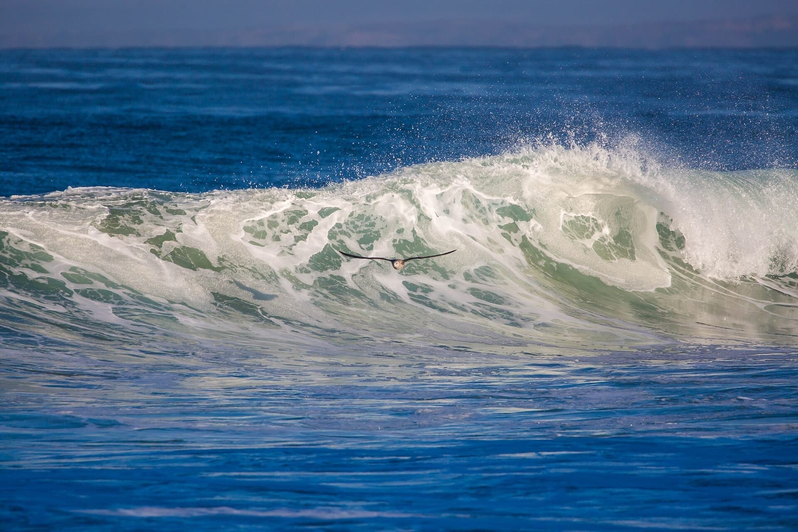
A wave breaking off Del Monte Beach.
- From, to: Del Monte Beach to Municipal Wharf 2, where the sand ends
- Surface: sand24
- Walkable: parts are impassable at high tide; the Recreation Trail runs alongside2426
The last sand: the bay curves round to the wharves.
Photo: Melissa McMasters, CC BY 2.0, via Wikimedia Commons.

Monterey waterfront
1.5 mi · 2.4 km · from mile 42.0
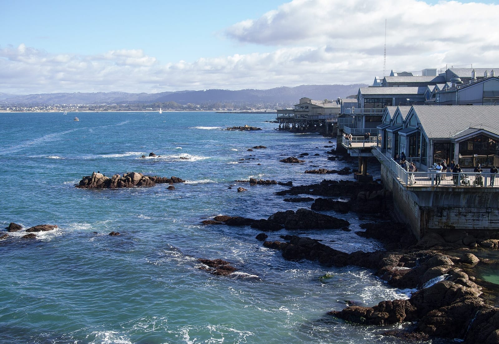
Cannery Row from the rocks below.
- From, to: Wharf 2, Fisherman's Wharf, Cannery Row, the Aquarium
- Surface: the paved Recreation Trail24
- Walkable: any tide, on the path
Crowds and sea lions: the end of the beach walk proper.
Photo: Rhododendrites, CC BY-SA 4.0, via Wikimedia Commons.

Pacific Grove
4.4 mi · 7.0 km · from mile 43.5
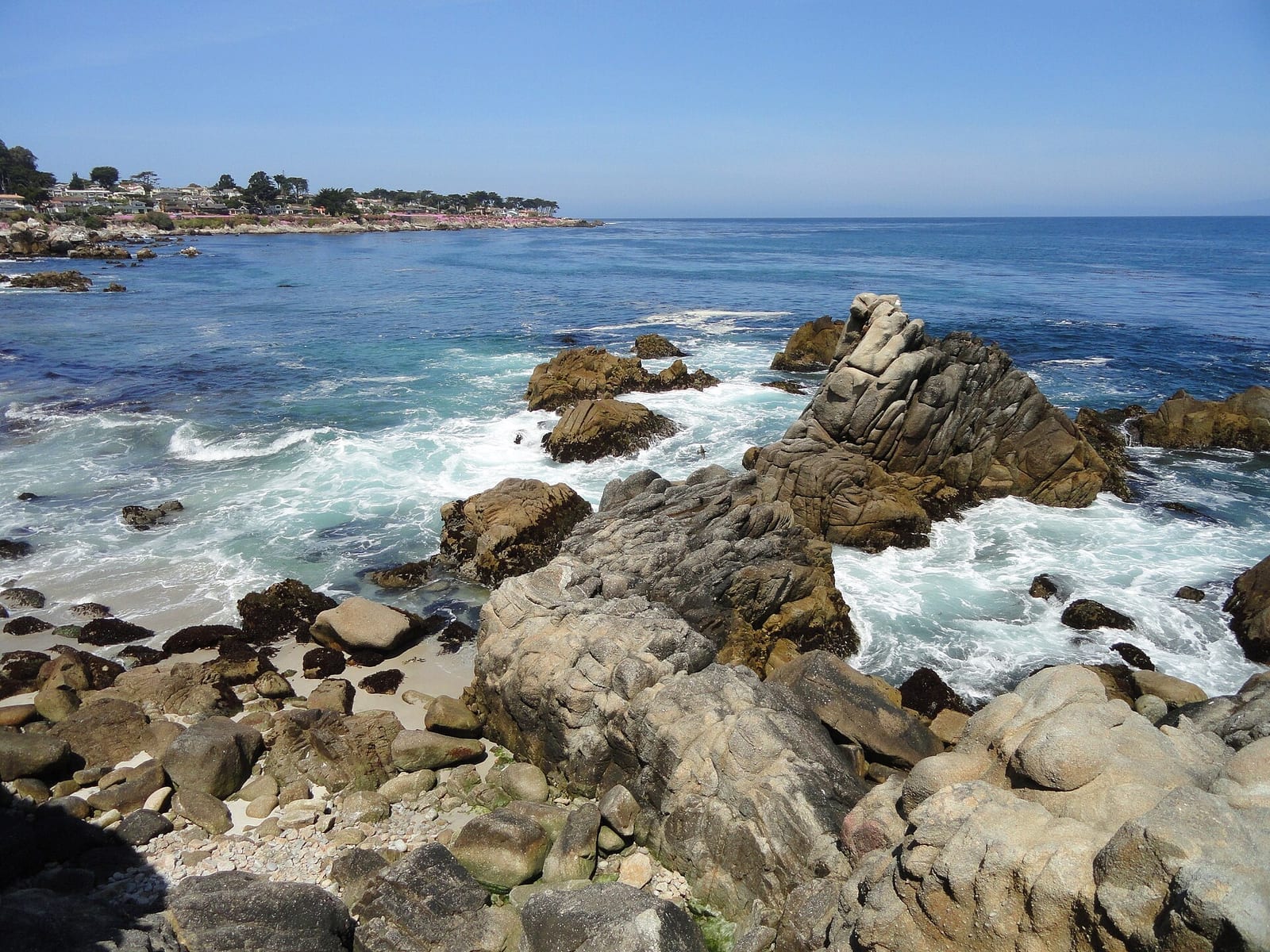
The rocks at Lovers Point, Pacific Grove.
- From, to: the Aquarium, Lovers Point, Point Pinos, Asilomar
- Surface: path, dirt track, boardwalk and some beach on a rocky shore27
- Walkable: the trail fades past Point Pinos; use the beach or the road shoulder27
Tide pools and the lighthouse, then the boardwalk into Asilomar.
Photo: Daderot, CC0, via Wikimedia Commons.
